

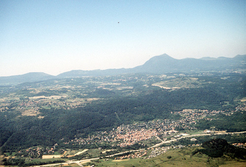
Ceyrat (63)
| Référence | 89-0580 |
|---|---|
| Pays | France |
| Div. admin. 1 | Auvergne |
| Div. admin. 2 | 63 Puy-de-Dôme |
| Commune | Ceyrat |
| Unité géographique | Massif Central | Coordonnées géographiques | 45° 43' 53" N, 3° 3' 54" E |
| Domaines | Paysage rural |
| Mots-clés | morphologie villageoise, massif hercynien |
| Commentaires | Crédits photographiques : A. Humbert. |