

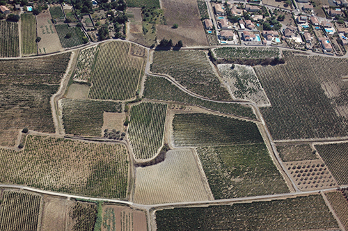
Montpeyroux (34)
| Référence | 10-0100 |
|---|---|
| Pays | France |
| Div. admin. 1 | Languedoc-Roussillon |
| Div. admin. 2 | 34 Hérault |
| Commune | Montpeyroux |
| Unité géographique | Séranne | Coordonnées géographiques | 43° 41' 56" N, 3° 29' 43" E |
| Domaines | Périurbanisation - Paysage rural |
| Mots-clés | lotissement pavillonnaire, oliveraie nouvelle, vigne |
| Commentaires | Le 21 août 2010. Crédits photographiques : A. Humbert - C. Renard / ANR PATERMED. |