

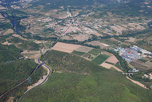
Bédarieux (34)
| Référence | 10-0361 |
|---|---|
| Pays | France |
| Div. admin. 1 | Languedoc-Roussillon |
| Div. admin. 2 | 34 Hérault |
| Commune | Bédarieux |
| Unité géographique | Languedoc | Coordonnées géographiques | 43° 35' 26" N, 3° 7' 38" E |
| Domaines | Hydrologie - Communications - Paysage rural |
| Mots-clés | fleuve, rivière, viaduc, vigne, village, voie ferrée, zone d'activités |
| Commentaires | Le 21 août 2010. Crédits photographiques : A. Humbert - C. Renard / ANR PATERMED. |