

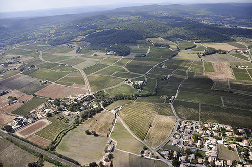
Pont-Saint-Esprit (30)
| Référence | 13-0338 |
|---|---|
| Pays | France |
| Div. admin. 1 | Languedoc-Roussillon |
| Div. admin. 2 | 30 Gard |
| Commune | Pont-Saint-Esprit |
| Unité géographique | Vallée de la Tave | Coordonnées géographiques | 44° 6' 29" N, 4° 35' 59" E |
| Domaines | Forêt - Périurbanisation - Paysage rural - Communications |
| Mots-clés | lisière forestière, lotissement pavillonnaire, olivier, vigne, voie ferrée |
| Commentaires | Orientation : WSW. Crédits photographiques : A. Humbert - C. Renard / ANR PATERMED. |