

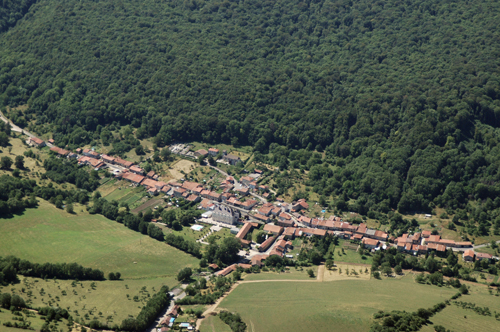
Vandeléville (54)
| Référence | 06-0049 |
|---|---|
| Pays | France |
| Div. admin. 1 | Lorraine |
| Div. admin. 2 | 54 Meurthe-et-Moselle |
| Commune | Vandeléville |
| Unité géographique | Xaintois | Coordonnées géographiques | 48° 25' 39" N, 5° 59' 45" E |
| Domaines | Architecture - Paysage rural |
| Mots-clés | château du XVIIIème siècle, meix, prairie, verger, village-rue |
| Commentaires | Le 16 juillet 2006 à 14:30. Crédits photographiques : A. Humbert. |