

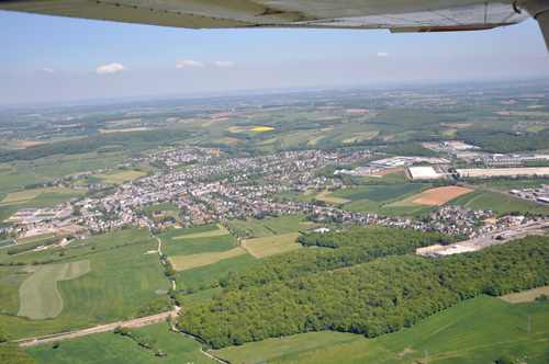
Käerjeng
| Référence | LX-10-0021 |
|---|---|
| Pays | Luxembourg |
| Div. admin. 1 | Luxembourg |
| Div. admin. 2 | Capellen |
| Commune | Käerjeng |
| Unité géographique | Gutland | Coordonnées géographiques | 49° 33' 32" N, 5° 55' 6" E |
| Domaines | Forêt - Tourisme et Loisirs - Paysage industriel - Paysage urbain - Paysage rural - Communications |
| Mots-clés | bois, complexe sportif, industrie, morphologie urbaine, prairie, voie ferrée, zone d'activités |
| Commentaires | Le 23 mai 2010 à 11:30. Crédits photographiques : A. Humbert. |