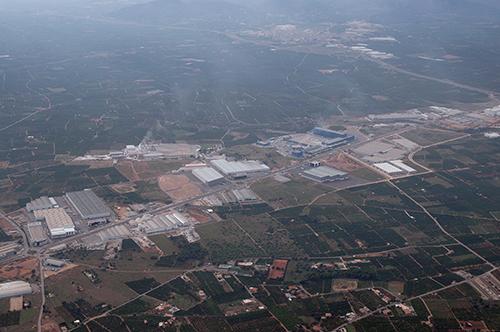
Villareal
| Référence | SP 07-0761 |
|---|---|
| Pays | Espagne |
| Div. admin. 1 | Comunidad Valenciana |
| Div. admin. 2 | Castellón |
| Commune | Villareal |
| Unité géographique | Levant Murcien | Coordonnées géographiques | 39° 56' 51" N, 0° 9' 8" W |
| Domaines | Paysage rural - Paysage industriel |
| Mots-clés | agrumes, cluster, huerta, industrie céramique, zone industrielle |
| Commentaires | Le 23 octobre 2007 à 15h00. Crédits photographiques : A. Humbert. |


