

Biougra
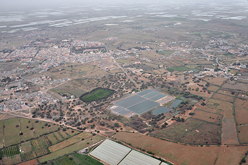
| Référence | MA 11-0300 |
|---|---|
| Pays | Maroc |
| Div. admin. 1 | Sous-Massa-Draa |
| Div. admin. 2 | Chtouka - Aït Baha |
| Commune | Biougra | Coordonnées géographiques | 30° 13' 32" N, 9° 22' 32" W |
| Domaines | Paysage rural - Paysage urbain |
| Mots-clés | bassin de décantation, cimetière, cultures sous serres, haie, morphologie urbaine |
| Commentaires | Le 15 mai 2011 à 11 h 00. Crédits photographiques : A. Humbert - H. Popp. |