

Anrey
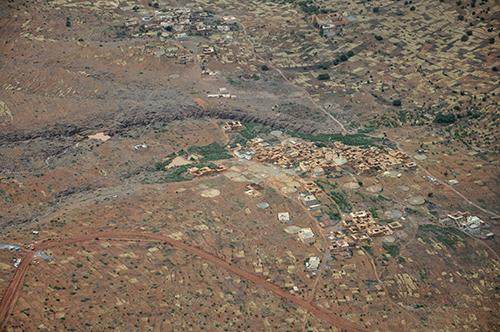
| Référence | MA 11-0333 |
|---|---|
| Pays | Maroc |
| Div. admin. 1 | Sous-Massa-Draa |
| Div. admin. 2 | Taroudant |
| Commune | Anrey | Coordonnées géographiques | 30° 8' 54" N, 8° 39' 54" W |
| Domaines | Paysage rural - Biogéographie |
| Mots-clés | aire à battre, aknari, anrar, figuier de Barbarie, morphologie villageoise, parcellaire |
| Commentaires | Le 17 mai 2011 à 14 h 00. Crédits photographiques : A. Humbert - H. Popp. |