

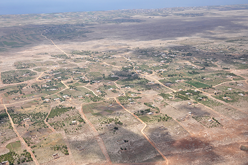
Ayir
| Référence | MA 11-0463 |
|---|---|
| Pays | Maroc |
| Div. admin. 1 | Doukhala-Abda |
| Div. admin. 2 | Safi |
| Commune | Ayir - Dbabeza | Coordonnées géographiques | 32° 37' 30" N, 9° 4' 57" W |
| Domaines | Biogéographie - Paysage rural |
| Mots-clés | aknari, figuier de Barbarie, habitat nébuleuse |
| Commentaires | Le 19 mai 2011 à 15 h 30. Crédits photographiques : A. Humbert - H. Popp. |